QGIS allows you to load map tiles through the XYZ Tiles service option. You can read more about the XYZ Tiles service here:
To add map tiles to your QGIS document, follow these steps:
Step 1: Find the “XYZ Tiles” option in your document’s Browser

Step 2: Right-click on the “XYZ Tiles” option and select the first option, “New Connection…”

Step 3: In the pop-up, paste in a name and URL of the tile service you want to import

After completing the steps above and hitting “OK” in the pop-up window – new imagery will load in your QGIS document.
Here is a list of freely-available tile services, along with a screenshot of what the imagery looks like in QGIS.. note that some of these services and imagery have license restrictions:
OpenStreetMap

https://tile.openstreetmap.org/{z}/{x}/{y}.png
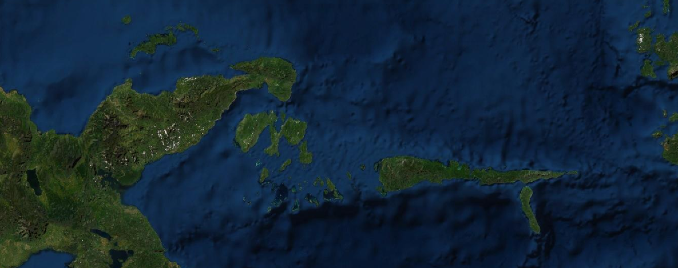
ArcGIS World Imagery

https://services.arcgisonline.com/arcgis/rest/services/World_Imagery/MapServer/tile/{z}/{y}/{x}
Google Maps Default

https://mt1.google.com/vt/lyrs=r&x={x}&y={y}&z={z}
Google Satellite

https://mt1.google.com/vt/lyrs=s&x={x}&y={y}&z={z}
Google Satellite Hybrid

https://mt1.google.com/vt/lyrs=y&x={x}&y={y}&z={z}
Google Terrain

https://mt1.google.com/vt/lyrs=p&x={x}&y={y}&z={z}
Google Roads v2

https://mt1.google.com/vt/lyrs=h&x={x}&y={y}&z={z}
Google Roads v1

https://mt1.google.com/vt/lyrs=m&x={x}&y={y}&z={z}
Stamen Watercolor

https://stamen-tiles.a.ssl.fastly.net/watercolor/{z}/{x}/{y}.jpg
Stamen Toner

https://stamen-tiles.a.ssl.fastly.net/toner/{z}/{x}/{y}.png
ESRI Satellite

https://server.arcgisonline.com/ArcGIS/rest/services/World_Imagery/MapServer/tile/{z}/{y}/{x}
ESRI Streets

https://server.arcgisonline.com/ArcGIS/rest/services/World_Street_Map/MapServer/tile/{z}/{y}/{x}
ESRI Topographic

https://server.arcgisonline.com/ArcGIS/rest/services/World_Topo_Map/MapServer/tile/{z}/{y}/{x}
Carto Positron

https://cartodb-basemaps-a.global.ssl.fastly.net/light_all/{z}/{x}/{y}.png
Leave a Reply